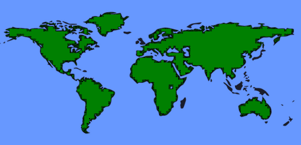
Space
Where in the world am I? There are several, partial, correct answers; political boundaries, latitude/longitude, elevation (above/below sea-level), etc.? Popular commercial technology gives location and driving instructions with amazing accuracy. Off road navigation may require maps or charts.
In contrast, Christopher Columbus used "Celestial Navigation." His instruments included: compass, hourglass, astrolabe, and quadrant. The last two "instruments" were for measuring angles of elevation. With this technology, his accuracy was ± a continent. The sextant wouldn't come along for another couple hundred years.
Hipparchus, a Greek astronomer (190–120 BC), is recognized as the first to specify location using coordinates of latitude and longitude. Basically, latitude is vertical (N/S) angular measurement above/below the earth's equator(0°). The North pole is N90°, etc. Longitude is an angular measurement east/west of the Greenwich Meridian (0°). East & WEst longitude meet at 180° mid-Pacific, at the international date line. In a nutshell we're talking spherical geometry with a side-order of elevation.
My sea-faring days preceded GPS (Global Positioning System). Primary Navigation tools included: binoculars, charts, compass, Sextant, Fathometer, surface Radar, and Loran (Long-Range Navigation). Loran, a radio-based system, was developed by MIT during WWII. Loran was used when nothing was visible.
GPS is an accurate (within feet) worldwide navigational and surveying facility. GPS is based on the reception of signals from orbiting satellites. The GPS project began in 1978. It went operational in 1993 with an array of 24 satellites.
Time
Given day, month, & year; consider local time of day. Earth rotates once in about 24 hours with respect to the Sun. So 360°/24 hrs = 15° longitude per hour time zone. Zones West of the Greenwich Meridian are -, those East are +. Greenwich time is also known as Greenwich Mean Time (GMT) and Coordinated Universal Time (UTC). So in New York City (UTC -4) at 8:00 pm would be 12:00 Midnight in Greenwich (UTC 0) and 02:00 am in Paris (UTC +2).
Accurate navigation requires accurate time information. The United States National Institute of Standards and Technology (NIST) operates a primary time and frequency standard; a cesium fountain atomic clock . NIST provides GMT time information through radio station WWV broadcasts and INTERNET Time Servers.
Caveats; where would we be without exceptions? Local time varies from UTC zone time for business and political reasons. Differential, national application of "Daylight Savings Time" is one example. A second example is the state of MI. All of MI is geographically within UTC -5, between 75°W & 90°W, approx. mid PA to mid WI. However, only the Southwest edge of MI's UP, along the WIs border, is UTC -5.The rest UTC -4.
46°N ±
45°N is midway between the Equator and North Pole. It's interesting that I've spent most of my days near 46°N. A highway sign South of Gaylord, MI proclaiming the 45 parallel finally registered.
Some cities in my "latitude band" include:
Related Link:

"45°54;18" ... "